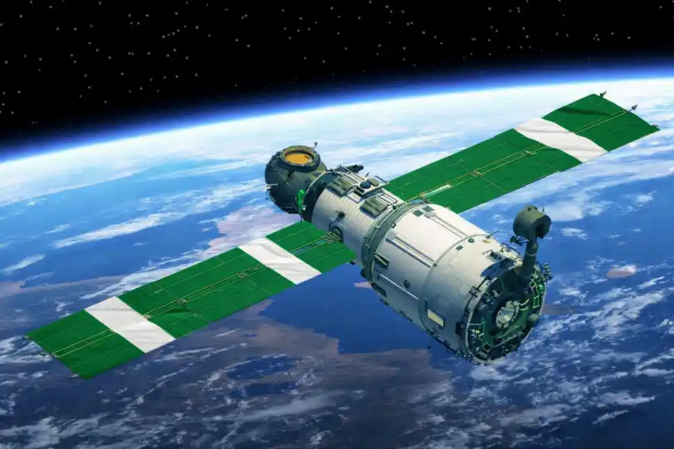
Nigeria’s space agency and key stakeholders in the agricultural sector are pushing for the expanded use of satellite data to improve irrigation systems and tackle food insecurity across the country.
At a three-day workshop organised by National Space Research and Development Agency (NASRDA), experts outlined a coordinated plan to deploy Earth observation technologies for smarter agricultural planning. The workshop, themed “Advancing Satellite-Based Tools to Map Irrigated Cropland in Nigeria,” focused on integrating space-based tools into national irrigation and food production strategies.
Director-General of NASRDA, Dr. Matthew Adepoju, described irrigation as central to achieving year-round food production, stressing that reliable data is critical for expansion efforts. According to him, satellite-based tools now provide Nigeria with the capacity to plan more effectively.
“Through satellite based tools, we are now able to map irrigated cropland at the national scale, monitor seasonal dynamics, assess cropping intensity and generate early warning insight to support informed decision-making for our farmers,” Adepoju said. He added that these capabilities would “enhance water resource management, improve agricultural productivity, guide infrastructure investment for government and private sector, and strengthen national food security.”
Also speaking, NASRDA’s Director of Strategic Space Applications, Dr. Godstime James, said the initiative represents a practical step toward implementing an irrigation Earth observation project tailored to Nigeria’s needs. He explained that the project would combine high-resolution satellite imagery with advanced analytics to deliver reliable data products.
“Through the irrigation Earth observation project, high-resolution satellite imagery, Sentinel-1 as well as Landsat datasets, with advanced machine learning techniques and field validation, will be integrated to produce reliable irrigated crop maps,” he said. These outputs, he noted, would support River Basin Development Authorities, ministries, departments and agencies at both federal and state levels in making informed decisions on irrigation expansion, monitoring and resource allocation.
International collaborators also emphasised the importance of credible data systems. Representatives from the University of Manchester and the University of Delaware highlighted that strengthening analytical tools would significantly improve agricultural productivity and bolster food security for farmers.
Other stakeholders, including the Managing Director of Space in Africa, Temidayo Oniosun, and the Kabiyesi of Eti-Ori, Oba Oladikun Thompson, stressed the need to democratise access to satellite data to ensure inclusive economic growth.
The irrigated Earth Observation project is being implemented by NASRDA in partnership with the University of Manchester, the University of Delaware, the Bill & Melinda Gates Foundation and Airbus, reflecting a multi-sector effort to harness space technology in addressing Nigeria’s food security challenges.